One scene. Put it to work.
One photograph in. A spatially consistent, fully decomposed 3D world out. Reconstruct it, take it apart object by object, simulate inside it, and reason about it in plain language.
Reconstruct
Drop in a single image and Primis rebuilds the entire scene in 3D. Every object is placed at real-world scale, one after another.
Decompose
Every object separates into its own clean, engine-ready mesh, individually selectable and named down to its sub-parts. You set the fidelity, from a quick layout to full detail.
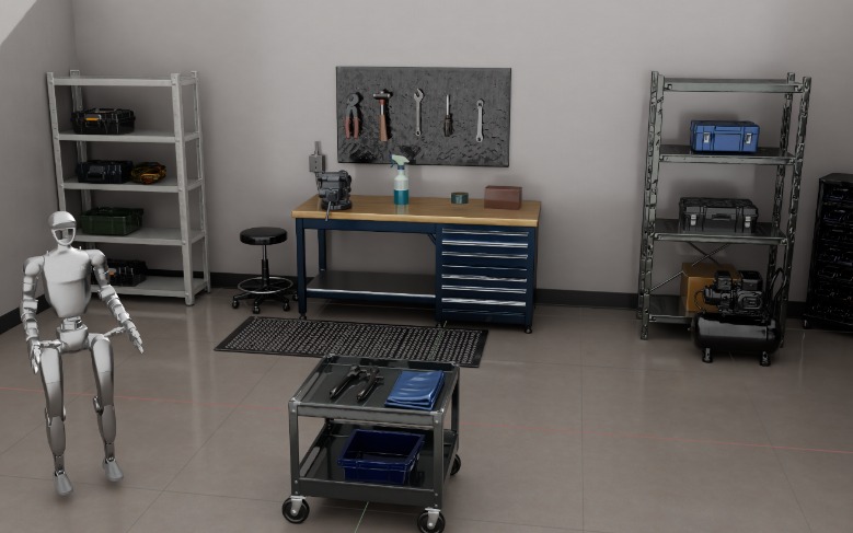
Simulate
Run robots and processes inside the world before you ever touch hardware. Grab a box off the shelf, place a tool inside it, and rehearse the whole task to scale.
Reason
Every object in the scene is known, so you can ask about it in plain language. Pose a question like “where is the white helmet?” and get a grounded spatial answer.
Synthetic data
Turn one real scene into thousands of aligned, labeled variations. You get endless training and test environments with no new capture required.